The 7 Easiest Cities To Get Around And The 7 Most Confusing To Navigate

Some cities welcome you with intuitive layouts, crystal-clear signage, and transportation that arrives on schedule. Others turn every trip into an elaborate puzzle where even GPS seems confused and three different streets somehow share the same name. Urban navigation can make or break a travel experience. The best cities feel effortless with subway maps that make sense and signs that point in the right direction. These ensure you're confidently moving like a local within minutes. The worst cities feel designed to disorient, where every corner presents a new challenge. Here is a breakdown of 7 cities with the easiest navigation and 7 with the worst and why.
Amsterdam, Netherlands: Bike-Friendly Streets And Intuitive Canals
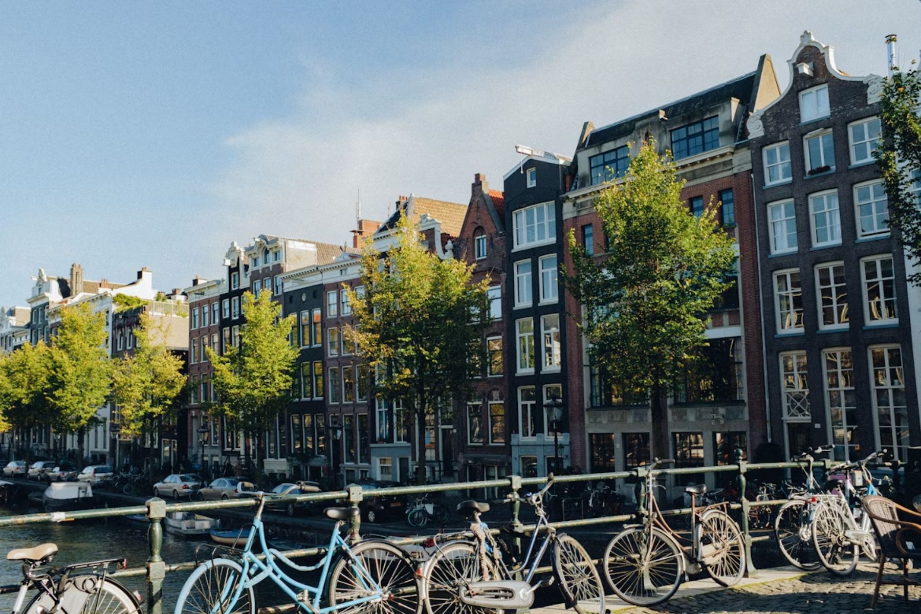
Nearly 40% of all trips in Amsterdam happen on two wheels. Why? Because there are more bikes than residents. The city’s canals form a concentric loop, which makes directions surprisingly simple. Pictogram street signs also help non-Dutch speakers. When winter comes, the canals freeze, turning into icy highways for skaters. Pedal or glide—your call.
Singapore: Seamless Transit In A Clean, Compact City
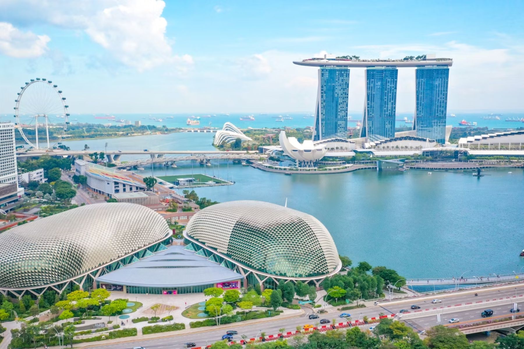
The MRT covers almost every part of the city-state, and this makes cross-town travel swift. Additionally, English signage ensures clarity, even for first-time visitors, and color-coded lines streamline decisions. Even the malls are connected underground. But hey, don’t jaywalk here because the fines are steep, but that discipline keeps the system humming.
Vienna, Austria: Logical Layout And Top-Tier Transport

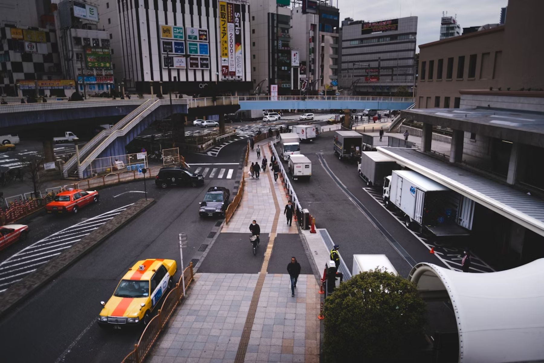
Tokyo, Japan: High-Tech Precision With A Learning Curve
Copenhagen, Denmark: Designed For Pedestrians And Cyclists
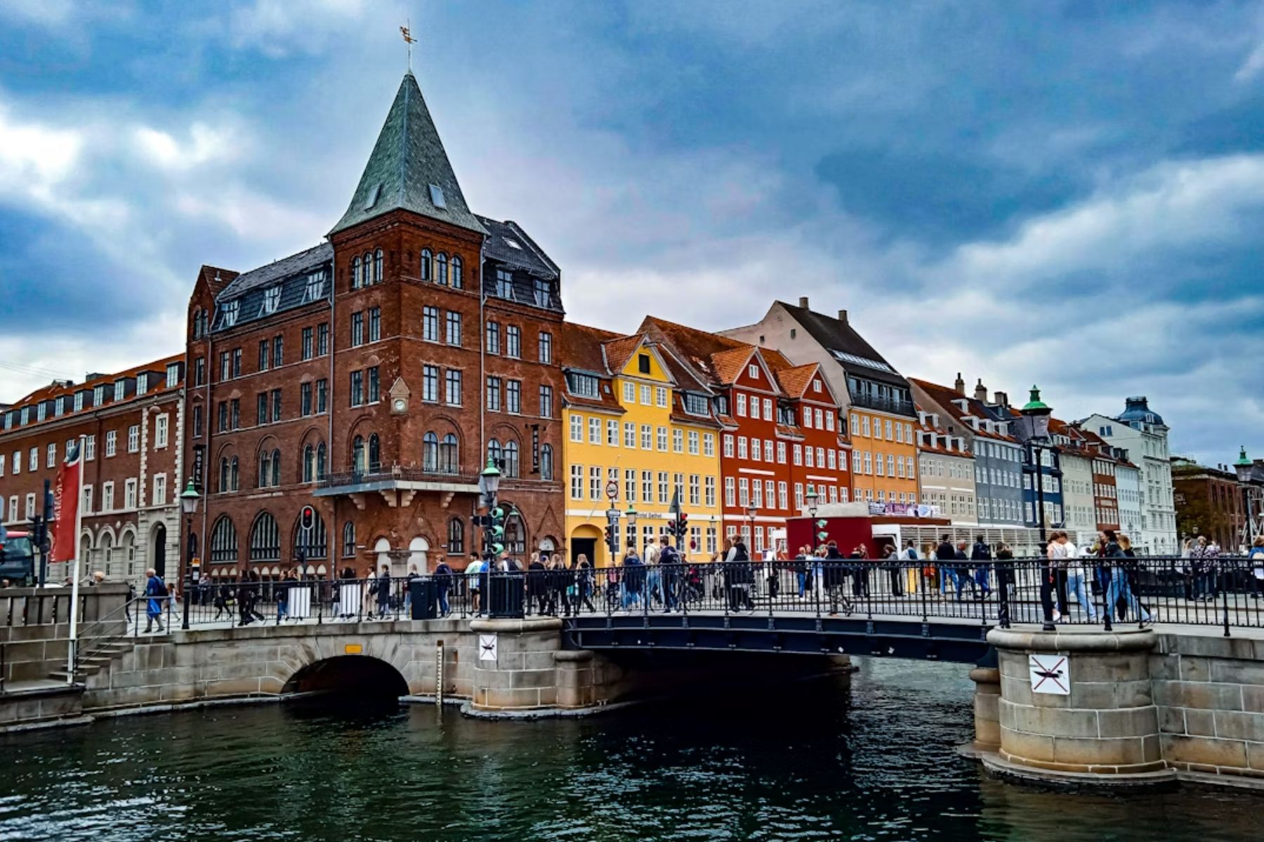
Over 400 kilometers of bike lanes crisscross the city. Copenhagen’s Metro runs 24/7 with driverless trains. You’ll spot harbor buses cruising along the water, which are also part of the public transit system. The terrain is mostly flat, making walking easy. GPS-linked bike shares sweeten the deal for visitors.
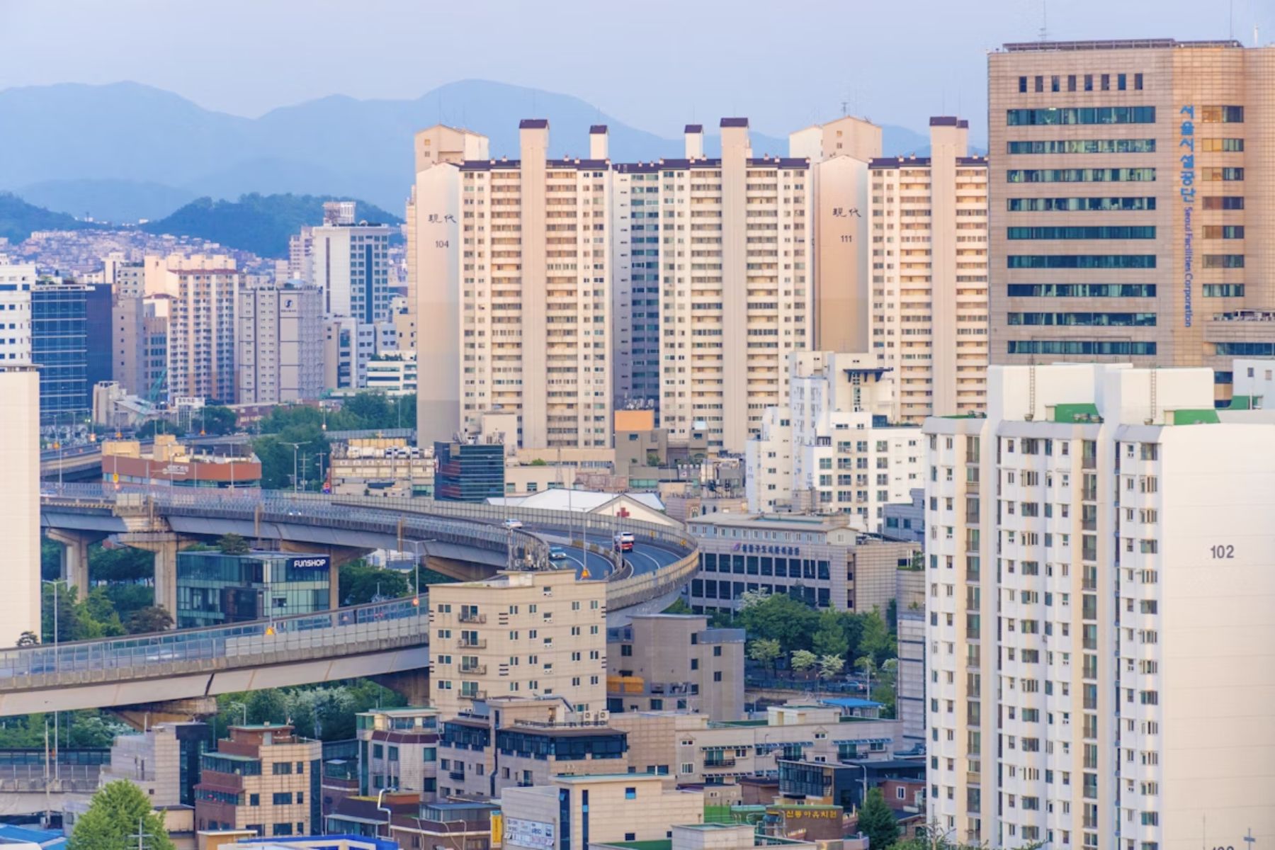
Seoul, South Korea: Navigation Made Easy By Tech Integration
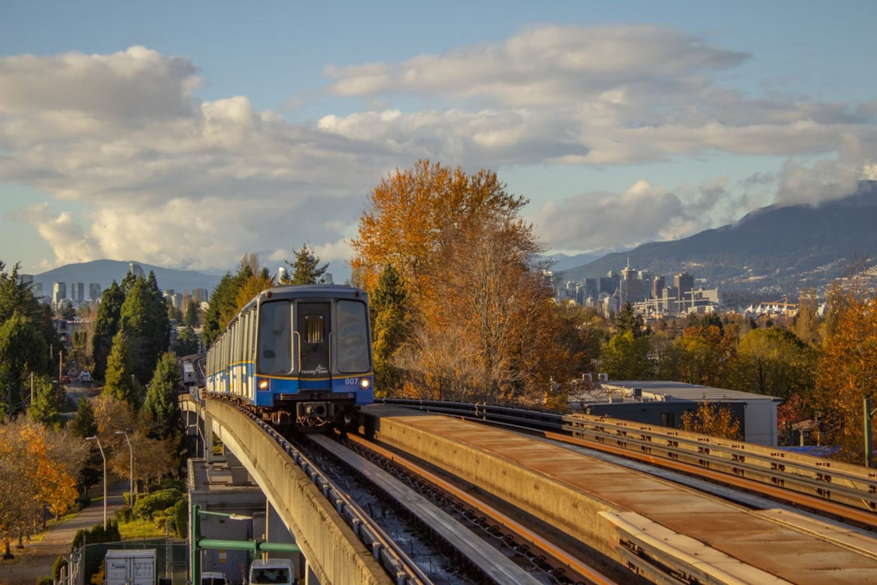
Vancouver, Canada: Compact Downtown And Smart Public Transit
Venice, Italy: A Beautiful Maze With Few Clues
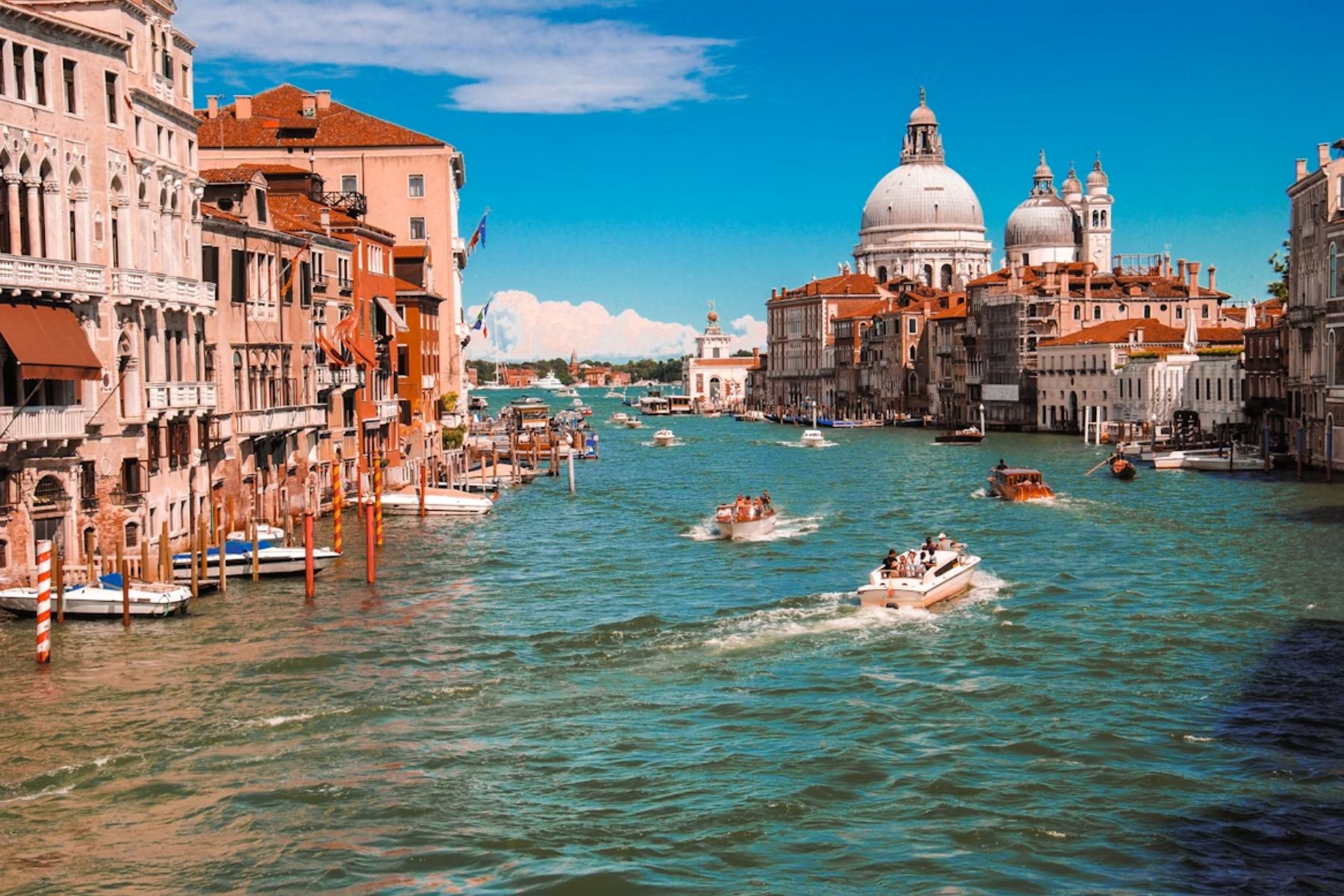
Navigating Venice can be a headache. With no cars, every route is by foot or boat, and the street signs mostly guide you only to the main landmarks. Alleys may change names midway, and some paths lead directly into canals. GPS here might struggle in tight corridors, so grab a map—or better yet, a gondola.
Boston, USA: Colonial Roots Create A Spaghetti Street Grid

Marrakesh, Morocco: Souks, Sounds, And Sensory Overload

Los Angeles, USA: A City Built For Cars, Not Walkers

LA’s vast sprawl obscures the actual distance. Public transit is disconnected and slow. Streets named “Sunset” can appear in multiple neighborhoods. Traffic lights take forever, and the locals use freeway names like GPS waypoints. What? When you are heading here, pack patience—and maybe an extra tank of gas (or Uber money).
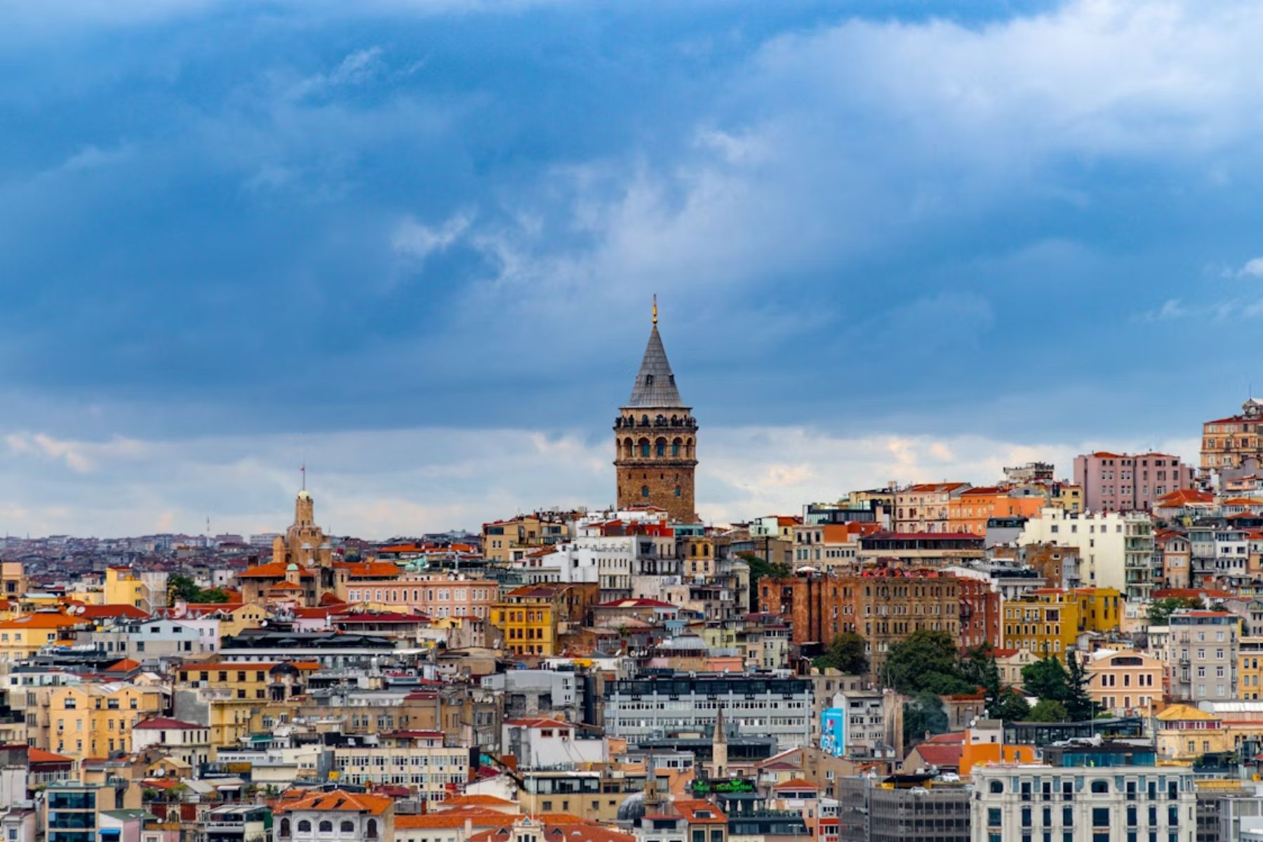
Istanbul, Turkey: Layers Of Empires In One City
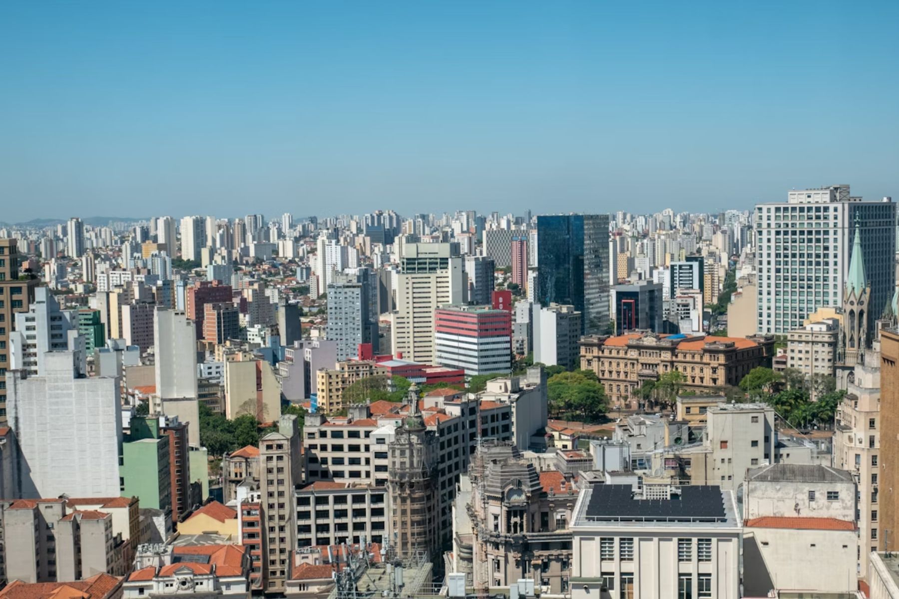
São Paulo, Brazil: Urban Jungle With Repeating Names
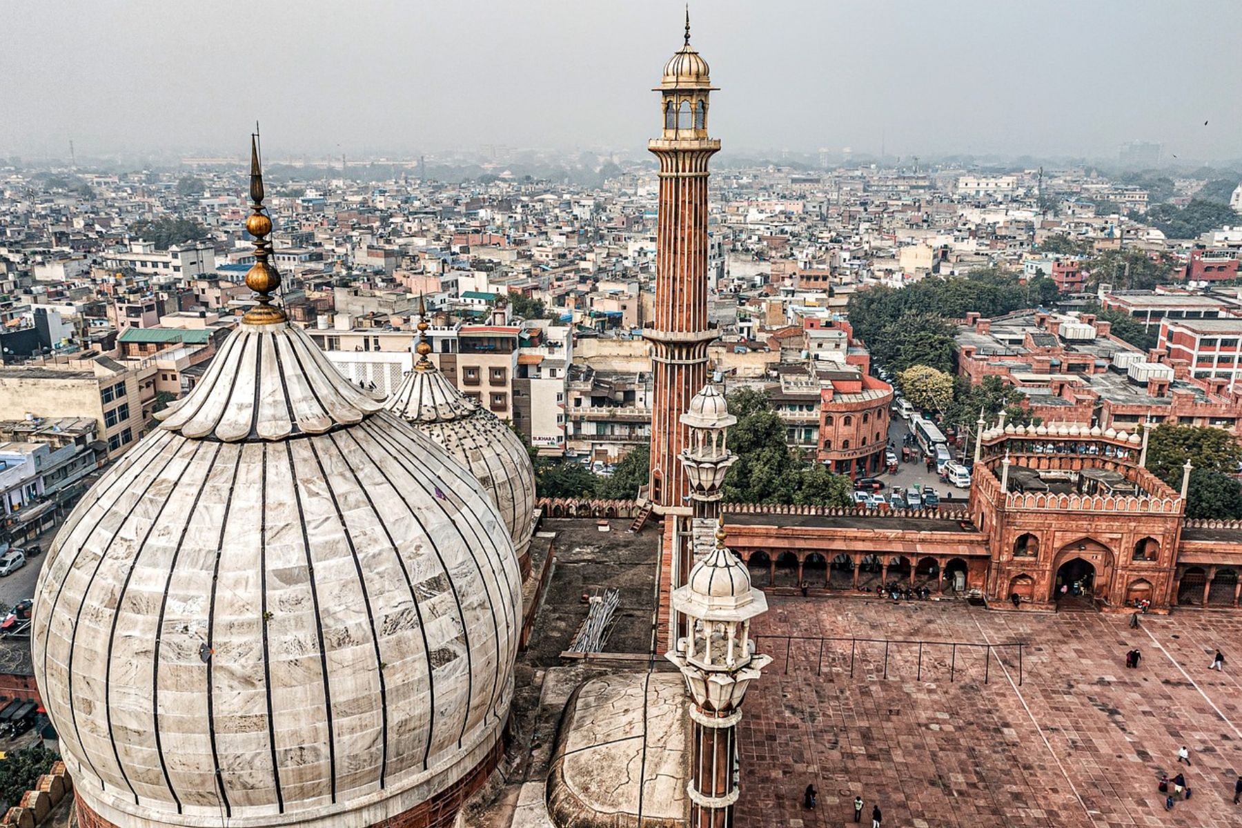
New Delhi, India: A Labyrinth Of Old Meets New
Colonial-era planning collides with ancient alleyways. Then, signage is inconsistent. For returning visitors, finding streets with new names is typical because they may be renamed after elections. Roundabouts often leave you with multiple options, with no labels to guide you. Locals navigate by monuments or temples. Maps help, but a friendly rickshaw driver helps more.